 ISO 24444 / ISO 24443
 EU COLIPA and SANS 1557 Verified Broadspectrum Sunscreens
Monitor current cloud cover and rainfall patterns across Africa and Southern Africa with these satellite images. Updated regularly, these visualizations help you track developing weather systems and plan your outdoor activities accordingly.
Weather satellites provide invaluable data about cloud formations, rainfall patterns, and storm systems. The images below come from various meteorological satellites that continuously monitor weather conditions over Africa and the surrounding regions.
These satellite images are particularly useful for:
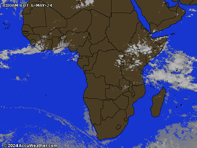
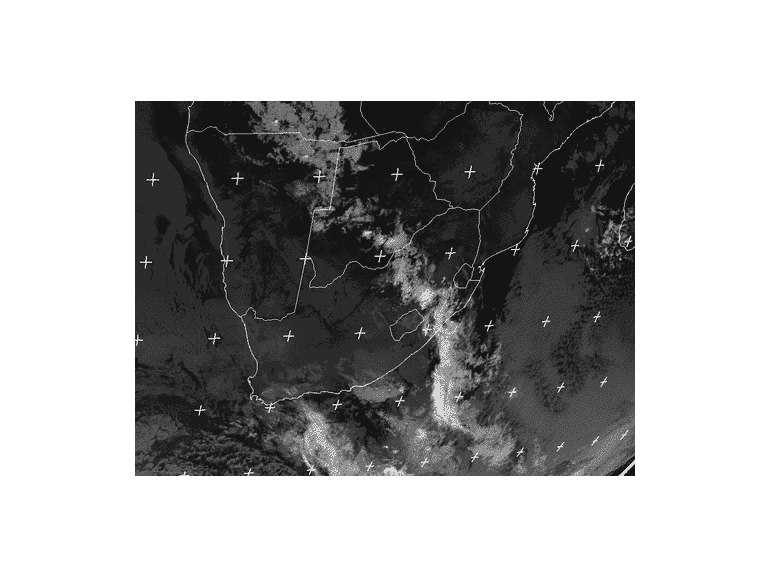
Images are automatically updated regularly. Last update:
While satellite images show cloud cover, it's important to remember that clouds don't provide complete protection from harmful UV rays:
For UV index information related to these weather patterns, check our dedicated UV monitoring pages:
South Africa UV Index World UV IndexReturn to the South African Weather summary:
Back to SA Weather
ISO 24444 / ISO 24443 View our selection of special offers with free nationwide delivery:
Kindly email us for any sunscreen, skin cream or UV protection cream requirement