

 ISO 24444 / ISO 24443
 EU COLIPA and SANS 1557 Verified Broadspectrum Sunscreens

Get accurate, up-to-date weather information for Gqeberha (Port Elizabeth), including current conditions, hourly forecasts, and 6-day outlook. Plan your outdoor activities with reliable weather data and UV protection guidance.

Temperature: 12.9°C
Feels like: 9.9°C
Description: Fair
Humidity: 74%
Wind: 13.3 km/h ← WSW
Moon Phase:  Waning Crescent
UV Index: 9 · Very High (now 0, today's peak 9)
Recommended: SPF 50+ — Extra protection. SPF 50+, avoid sun 10am-4pm; reapply every 2 hours.
Shop SPF 50+ sunscreen →Air quality (PM2.5, PM10, US AQI): Open-Meteo / CAMS. Pollen shown where forecast data is available.
Hourly UV, temperature & 7-day data: Open-Meteo. This is general sun-safety guidance, not a personal safe-exposure time — UV damages skin before any visible sunburn, so protect from UV 3 upward (WHO/EPA UV Index guidance).
TodayMorning Temperature: 16.4°C Description: Clear sky Wind: 16.9 km/h ← WSW Afternoon Temperature: 19.8°C Description: Partly cloudy Wind: 24.1 km/h ↙ SW Evening Temperature: 15.2°C Description: Partly cloudy Wind: 11.2 km/h ↙ SW |
TomorrowMorning Temperature: 16.4°C Description: Fair Wind: 5.0 km/h ↗ ENE AfternoonTemperature: 19.7°C Description: Clear sky Wind: 18.0 km/h ↘ ESE EveningTemperature: 18.1°C Description: Partly cloudy Wind: 31.7 km/h → E |
Seven days from today — forecast by met.no (Norwegian Meteorological Institute), updated Fri 04:42 SAST. Highs and lows are the day's hourly extremes; the icon and wind are the midday values.
Today, Oct 9
High: 20.6°C (rest of today) Low: 12.2°C Partly cloudy Wind: 24.1 km/h ↙ SW Moon: |
Tomorrow, Oct 10
High: 19.9°C Low: 12.2°C Clear sky Wind: 18.0 km/h ↘ ESE Moon: |
Sun, Oct 11
High: 25.4°C Low: 16.7°C Fair Wind: 26.6 km/h ↙ SSW Moon: |
Mon, Oct 12
High: 26.4°C Low: 16.2°C Partly cloudy Wind: 10.8 km/h ↓ S Moon: |
Tue, Oct 13
High: 20.7°C Low: 15.5°C Cloudy Wind: 15.1 km/h ↓ SSW Moon: |
Wed, Oct 14
High: 19.8°C Low: 16.1°C Partly cloudy Wind: 10.8 km/h → E Moon: |
Thu, Oct 15
High: 23.4°C Low: 15.0°C Fair Wind: 24.1 km/h ↙ SW Moon: |
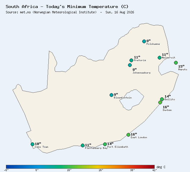
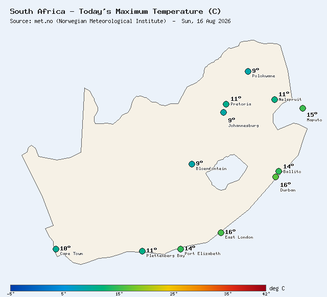
Live SA temperature maps generated from met.no (Norwegian Meteorological Institute) data, refreshed every few hours.
A ~220 × 240 km live panel: NOAA satellite rain rate in mm/h with contours, Meteosat-12 cloud tops and lightning, one frame every 10 minutes, one-hour loop. Latest frame Fri 09 Oct 04:10 SAST · heaviest rain in the panel 0.0 mm/h · no lightning within 30 km in the last five minutes.
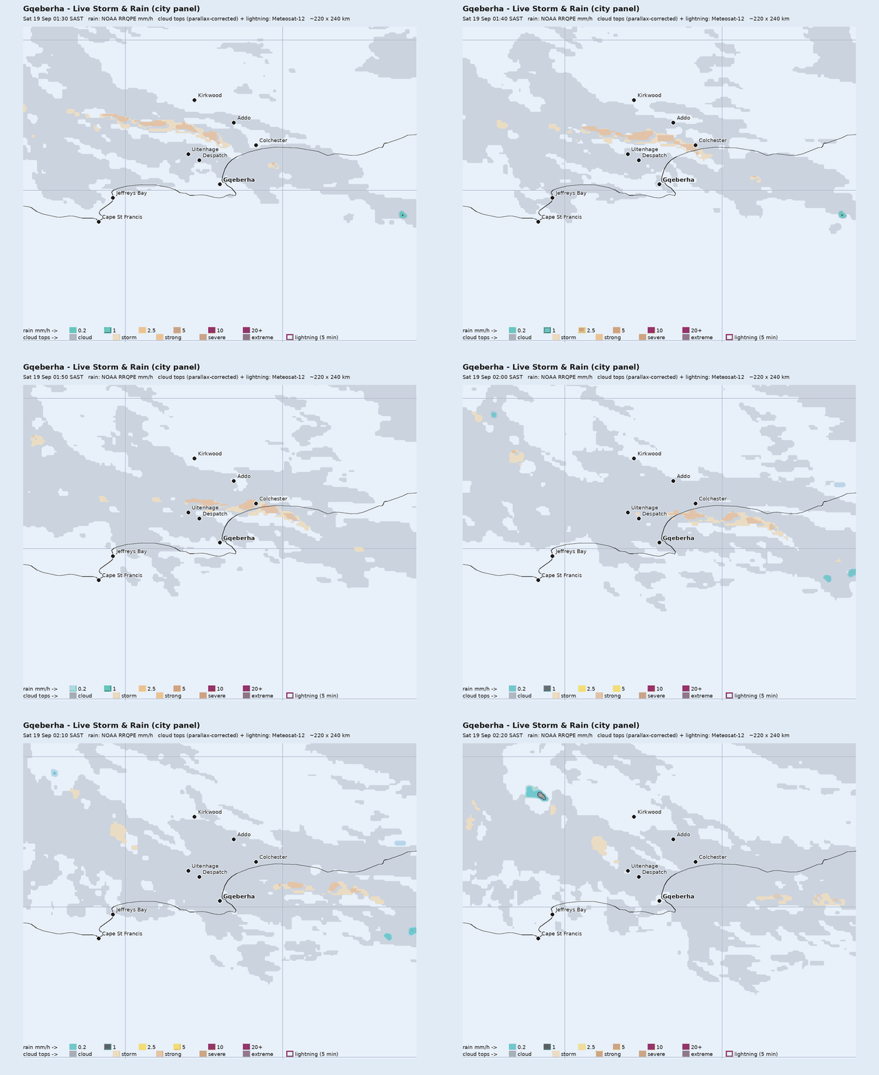
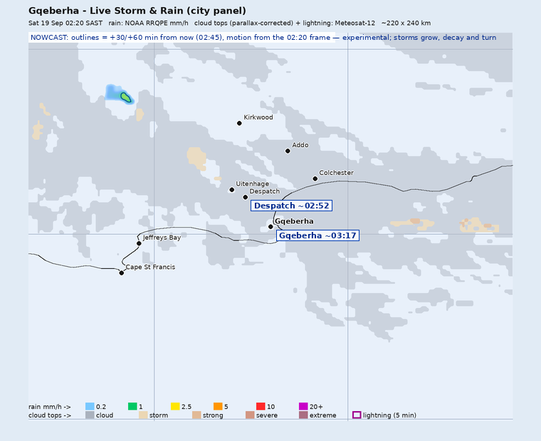
Nowcast — each storm cell's motion arrow and its projected outline 30 (solid) and 60 minutes (dotted) ahead.
Precipitation estimates: NOAA/NESDIS Enterprise Rain Rate (RRQPE). Cloud tops and lightning: EUMETSAT Meteosat-12. This panel shows observations, not warnings; official severe-weather warnings are issued by the South African Weather Service.
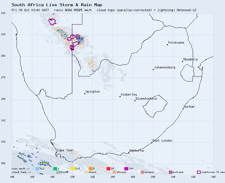
Live storm and rain map — NOAA satellite rain rate (mm/h), Meteosat-12 cloud tops and lightning, updated every 10 minutes, with a 60-minute storm nowcast and arrival times. Open the full map →
While checking the weather forecast is important for planning outdoor activities, it's also crucial to consider UV exposure, which can be high even on cloudy days. Here are some sun protection tips based on weather conditions:
For current UV index information and specialized sun protection products:
South Africa UV Index Sunscreen Products
ISO 24444 / ISO 24443 Free Delivery
 Three x 150ml SPF40 Free SA Delivery
Kindly email us for any sunscreen, skin cream or UV protection cream requirement